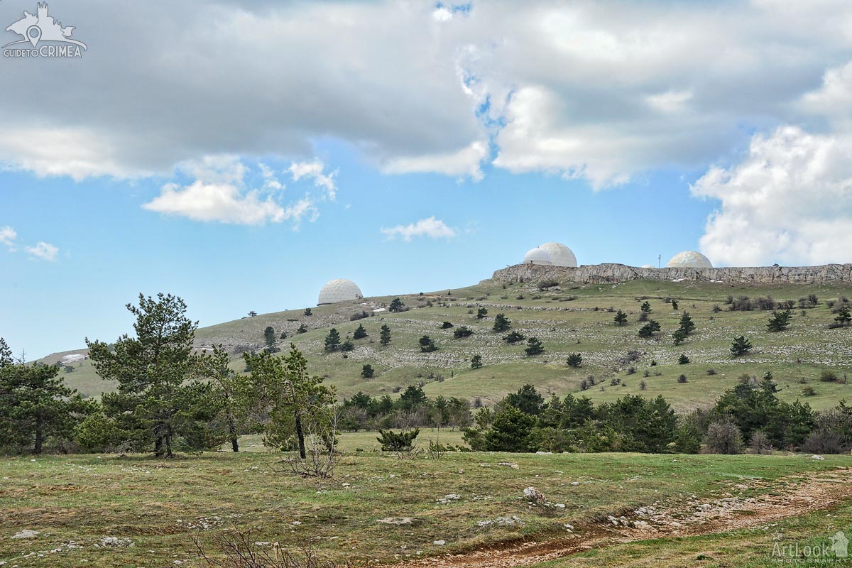
The spring landscape of the upper plateau of Mount Ai-Petri overlooking the huge white balls of the radar complex on the top of the Bedene-Kır mountain. Bedene-Cyr in Turkic means Quail Mountain.
White patches of unmelted snow on the plateau at a height about 1,2 km above sea level are still visible on the plateau surface. The complex of radar stations (RLS) is located on the top of Bedene-Cyr (Quail ) Mountain and is classified as “secret”. It is the highest plateau's peak of 1334 meters above sea level.
Photo #331 taken on May 04, 2017
